
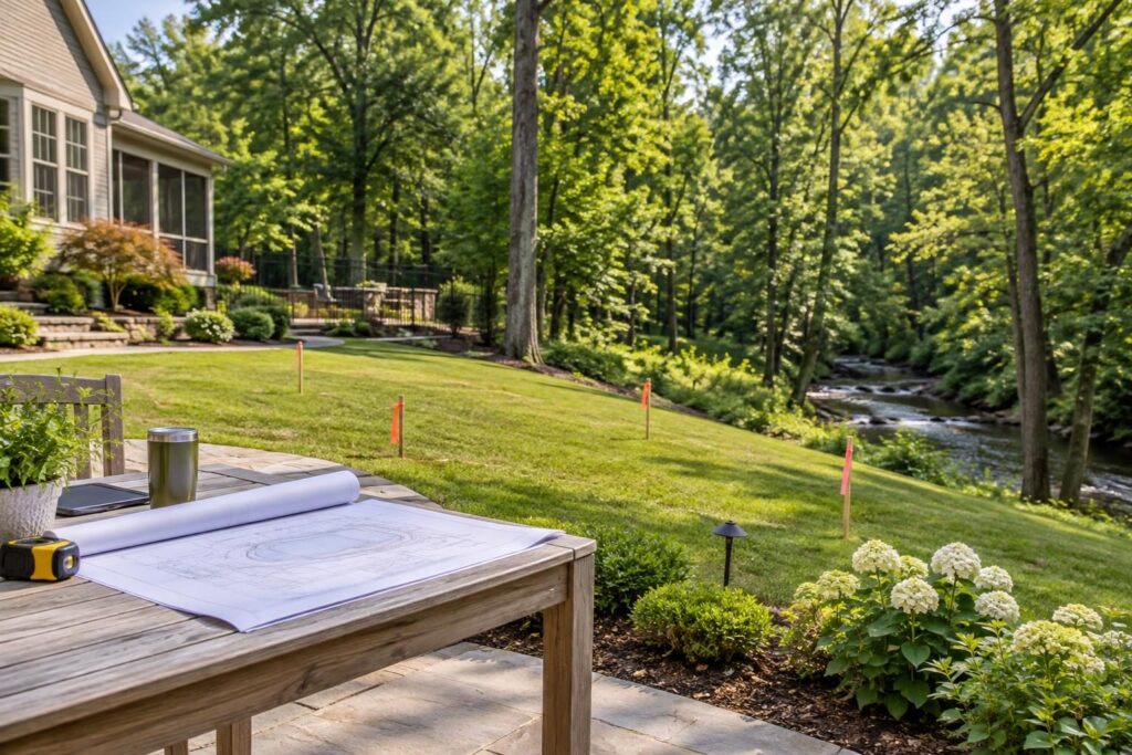
North Carolina pool planning near stream buffers should begin with property research, not a finished backyard rendering. A wooded channel, seasonal flow path, or mapped stream raises questions that a pool sketch cannot answer. Before choosing the pool location, identify who can confirm the water feature, applicable protections, and permitted work area.
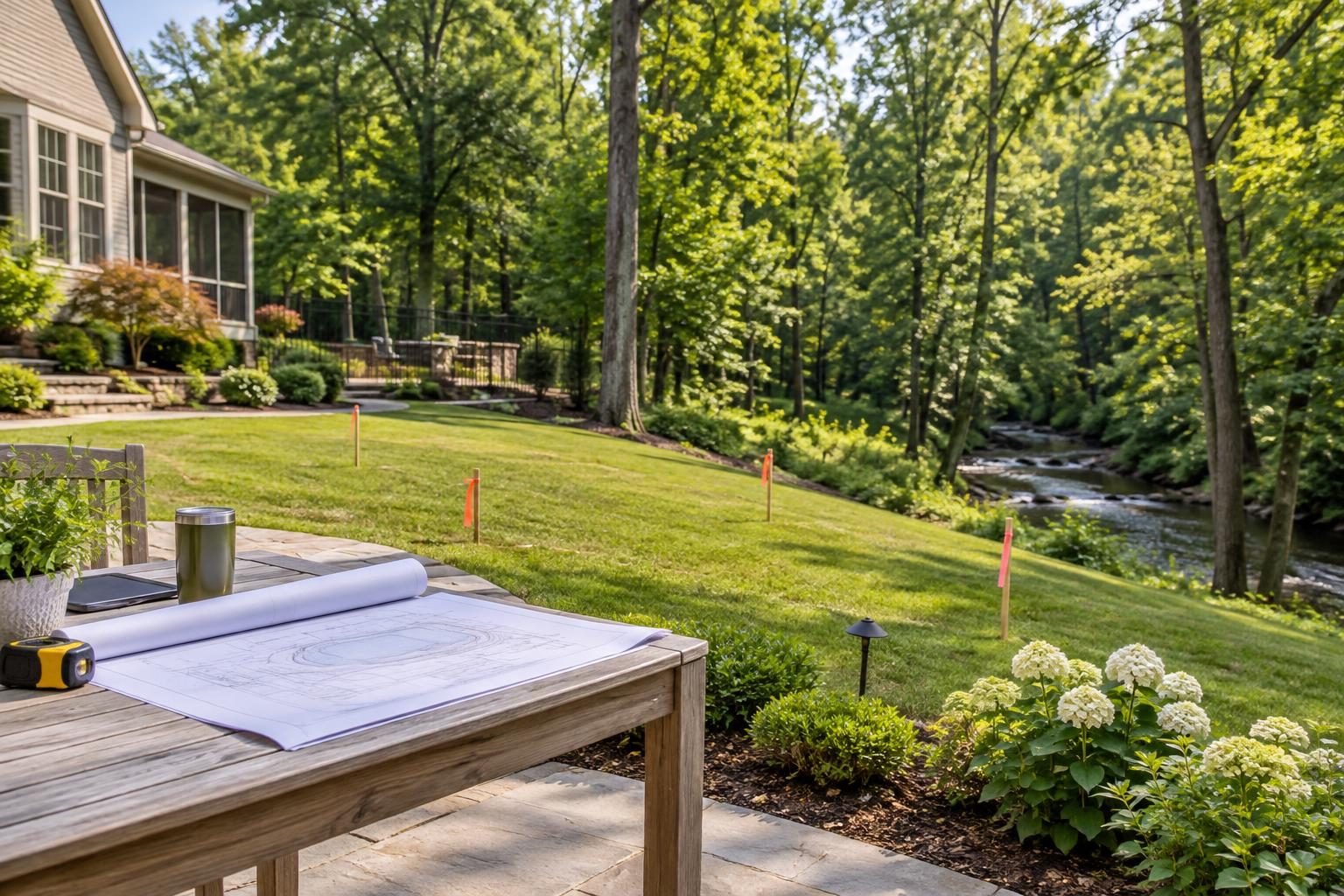
There is no single setback homeowners should apply to every streamside lot. Requirements can depend on jurisdiction, watershed, property conditions, adopted rules, and project scope. The practical goal is a documented buildable area that accounts for the entire project, including access and drainage.
Understand what a stream buffer may protect
A riparian buffer is land alongside a water feature where vegetation or certain activities may receive protection. Whether a buffer applies, where it begins, and what activities it restricts require property-specific verification.
Do not treat a stream buffer as interchangeable with a property-line setback, drainage easement, or flood zone. These constraints address different issues and may overlap. Permission related to one does not automatically resolve the others.
Ask the reviewing authority which features and activities need evaluation. Pool excavation is only one concern. Decks, fences, equipment pads, retaining walls, utility trenches, clearing, and temporary access may also matter.
For overlapping site constraints, review our guide to resolving easement and setback questions. Keep each restriction separately labeled rather than combining everything into one unexplained line.
Gather survey and stream information before design
The first deliverable for North Carolina pool planning near stream buffers should be a usable site-information package. Gather existing records before paying for detailed design work.
- A boundary survey, recorded plat, and available easement documents.
- Available elevation information showing how the yard rises and falls.
- Previous site plans, grading plans, and drainage approvals.
- Septic records, including any designated repair area, if applicable.
- Available stream, wetland, flood, or environmental review records.
- Photographs showing the channel, banks, vegetation, and nearby yard.
Record each document’s date and source. An older survey may not contain the environmental information needed for today’s proposal.
Ask a licensed surveyor what additional fieldwork or information the design team needs. Our survey and elevation questions can help organize that discussion. Do not assume a boundary survey determines stream status or regulatory buffer limits.
Use maps to ask questions, not declare clearance
Online maps can help identify issues for review. They should not become the sole basis for declaring a pool location unrestricted.
Check the FEMA Flood Map Service Center for available flood-hazard information. Then ask the local floodplain administrator how that information affects the specific proposal. A flood map does not establish every stream-related restriction.
Likewise, a feature missing from an online map is not proof that no review is needed. A channel that appears dry during a site visit also deserves careful evaluation.
Save dated screenshots with their source and map legend. Label them as research materials, not approved construction limits. If maps conflict with field observations, ask the relevant authority how to resolve the difference. Do not choose whichever version leaves the most room for the pool.
Identify the local and environmental reviewers
Start with the municipal or county planning and inspections offices serving the property. Provide the parcel identification, address, preliminary project description, and available site records.
Ask who handles stream buffers, stormwater, erosion control, and floodplain review at that location. Some questions may require referral to North Carolina environmental staff or another agency. Request the responsible office rather than assuming one department handles everything.
- Which buffer rules, ordinances, or recorded restrictions need review?
- Who can determine the water feature’s status for this proposal?
- Is a field visit or qualified environmental assessment needed?
- Are wetland or stream-impact questions subject to separate review?
- What written determination or approval should the design team obtain?
If septic systems or wells affect the layout, contact local environmental health staff. Ask each office to clarify its role and any issues outside its authority.
Get buffer measurements and activity limits clarified
A useful answer explains more than a distance. Ask what physical reference establishes the starting point for any required measurement. Have the appropriate professional show that reference and the resulting limits on the project drawing.
Then ask how the rules treat each proposed activity. Do not assume that leaving the pool shell outside a line resolves deck construction, tree removal, or grading questions.
- Can vegetation be removed or replaced within the reviewed area?
- How are fences, drainage outlets, and utility crossings evaluated?
- Are temporary machinery access and soil storage restricted?
- Does a proposed retaining wall require additional review?
- Would a layout change require revised approval?
Keep written responses with the drawing version they address. If a conversation provides only general guidance, label it accordingly. Ask what further information is needed before anyone can confirm the proposed work.
Show the full construction disturbance footprint
The disturbance footprint is the entire area affected by construction, not just the finished pool. It can include excavation, grading, stockpiles, delivery routes, trenching, and landscape restoration.
Request a plan showing those activities beside the verified environmental limits. Include the deck, equipment pad, barrier, drainage work, and any retaining structures. A narrow backyard may offer enough space for the pool but insufficient room for the proposed construction method.
Ask who will mark approved limits before mobilization and protect those markings during work. Confirm where machinery can turn and where excavated soil will go.
If the contractor proposes changing access or storage locations, request review before the change occurs. A verbal statement that the crew will “work around it” leaves too much unresolved. Ask for a workable method, assigned responsibility, and updated drawing where needed.
Review drainage without assuming the stream is an outlet
North Carolina pool planning near stream buffers also requires a drainage discussion. Adding decks or changing grades can redirect runoff toward banks, neighboring land, or the house.
Ask a qualified designer to explain existing and proposed water movement. Do not assume that a nearby stream provides an acceptable outlet for roof runoff, deck drainage, pool overflow, or pumped excavation water.
The NC DEQ Erosion and Sediment Control Manual provides background on controlling soil movement during land-disturbing work. Ask the responsible local or state office which requirements apply to your project.
Have the proposal identify temporary controls, maintenance responsibility, and restoration work. Review permanent water routes with our heavy-rain overflow planning guide. Keep pool-water disposal questions separate from ordinary stormwater drainage; verify acceptable methods locally.
Make unresolved site questions visible in the contract
Before signing a construction agreement, identify which site questions remain open. If preliminary design is needed first, define that limited service separately and clarify its deliverables.
Request written responsibility for surveys, environmental assessments, applications, design revisions, and required approvals. Any allowance—a budget placeholder—should identify what it covers and how actual costs will be documented.
- Which drawing and approval versions control the construction scope?
- What happens if review requires a smaller pool or different access?
- Who pays for redesign, added controls, or restoration?
- Which approvals must precede clearing, excavation, or material orders?
- How will payment milestones reflect verified progress?
Pressure to order materials before confirming a workable layout warrants questions, not an automatic accusation. Ask about cancellation terms, redesign exposure, and the basis for proceeding. Independently verify important representations with the responsible office.
Verify the site before clearing, then preserve records
Before work starts, compare the staked layout with the reviewed drawing. Ask the responsible professionals to confirm that construction access and disturbance limits match the approved approach.
Photograph the streamside area, marked limits, and existing drainage features from safe locations. During construction, photograph relevant work before it is covered. Never enter an excavation or unstable bank to obtain a picture.
Retain approvals, written communications, signed change orders, inspection records, and documented corrections. If field conditions differ from the plan, request review before affected work proceeds. At closeout, collect required final records, restoration documentation, and any continuing maintenance obligations.
North Carolina pool planning near stream buffers benefits from early, property-specific verification. Consult local inspections and environmental reviewers before committing to placement. Use a licensed surveyor, qualified environmental specialist, engineer, or licensed pool contractor when the site questions require their expertise. General planning guidance cannot establish your property’s legal construction limits.